Résultats
Nous avons trouvé 3 éléments semblables.


Page 1 de 1
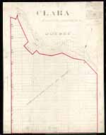
- Clara Township Map ca.1885


 Early surveyors, like William E. Logan, used Rochon micrometer telescopes and targets (disk on a calibrated pole) to measure distance. Each microscope had a different calibration and therefore a different range. The instruments were calibrated against a distance measured with a surveyors chain (also known as Gunter’s chain). One chain …

 Early surveyors, like William E. Logan, used Rochon micrometer telescopes and targets (disk on a calibrated pole) to measure distance. Each microscope had a different calibration and therefore a different …Head, Clara and Maria Public Library
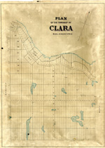
 - Map of Clara Township


 Early surveyors, like William E. Logan, used Rochon micrometer telescopes and targets (disk on a calibrated pole) to measure distance. Each microscope had a different calibration and therefore a different range. The instruments were calibrated against a distance measured with a surveyors chain (also known as Gunter’s chain). One chain …

 Early surveyors, like William E. Logan, used Rochon micrometer telescopes and targets (disk on a calibrated pole) to measure distance. Each microscope had a different calibration and therefore a different …Head, Clara and Maria Public Library
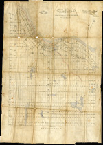
 - Plan of the township of Clara, Renfrew County
ca. 1888

 The Map came from Andre Boissonneault, a contractor. The map is hand written on an oil cloth, and covers a total area of 63922 (unit of measure unknown). Early surveyors, like William E. Logan, used Rochon micrometer telescopes and targets (disk on a calibrated pole) to measure distance. Each microscope …
 The Map came from Andre Boissonneault, a contractor. The map is hand written on an oil cloth, and covers a total area of 63922 (unit of measure unknown). Early surveyors, …Head, Clara and Maria Public Library
Page 1 de 1


