Résultats
Nous avons trouvé 2401 éléments semblables.


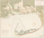
- Historical Maps of Toronto

 Featuring simple and free access to a broad selection of notable historical maps of Toronto, this site aims to generate curiosity, and to serve as an easy entry point for discovery and further investigation.
 Featuring simple and free access to a broad selection of notable historical maps of Toronto, this site aims to generate curiosity, and to serve as an easy entry point for …Nathan Ng
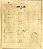
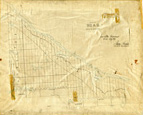
 - Maria Township ca. 1886


 Early surveyors, like William E. Logan, used Rochon micrometer telescopes and targets (disk on a calibrated pole) to measure distance. Each microscope had a different calibration and therefore a different range. The instruments were calibrated against a distance measured with a surveyors chain (also known as Gunter’s chain). One chain …

 Early surveyors, like William E. Logan, used Rochon micrometer telescopes and targets (disk on a calibrated pole) to measure distance. Each microscope had a different calibration and therefore a different …Head, Clara and Maria Public Library
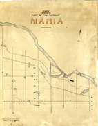
 - Maria Township ca. 1866


 Early surveyors, like William E. Logan, used Rochon micrometer telescopes and targets (disk on a calibrated pole) to measure distance. Each microscope had a different calibration and therefore a different range. The instruments were calibrated against a distance measured with a surveyors chain (also known as Gunter’s chain). One chain …

 Early surveyors, like William E. Logan, used Rochon micrometer telescopes and targets (disk on a calibrated pole) to measure distance. Each microscope had a different calibration and therefore a different …Head, Clara and Maria Public Library
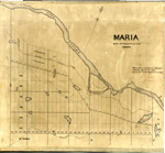
 - Maria Township ca.1869


 Early surveyors, like William E. Logan, used Rochon micrometer telescopes and targets (disk on a calibrated pole) to measure distance. Each microscope had a different calibration and therefore a different range. The instruments were calibrated against a distance measured with a surveyors chain (also known as Gunter’s chain). One chain …

 Early surveyors, like William E. Logan, used Rochon micrometer telescopes and targets (disk on a calibrated pole) to measure distance. Each microscope had a different calibration and therefore a different …Head, Clara and Maria Public Library
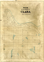
 - Clara Township Map ca.1885


 Early surveyors, like William E. Logan, used Rochon micrometer telescopes and targets (disk on a calibrated pole) to measure distance. Each microscope had a different calibration and therefore a different range. The instruments were calibrated against a distance measured with a surveyors chain (also known as Gunter’s chain). One chain …

 Early surveyors, like William E. Logan, used Rochon micrometer telescopes and targets (disk on a calibrated pole) to measure distance. Each microscope had a different calibration and therefore a different …Head, Clara and Maria Public Library
 - Head Township ca.1859


 Early surveyors, like William E. Logan, used Rochon micrometer telescopes and targets (disk on a calibrated pole) to measure distance. Each microscope had a different calibration and therefore a different range. The instruments were calibrated against a distance measured with a surveyors chain (also known as Gunter’s chain). One chain …

 Early surveyors, like William E. Logan, used Rochon micrometer telescopes and targets (disk on a calibrated pole) to measure distance. Each microscope had a different calibration and therefore a different …Head, Clara and Maria Public Library
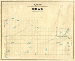
 - Map of Head Township


 Early surveyors, like William E. Logan, used Rochon micrometer telescopes and targets (disk on a calibrated pole) to measure distance. Each microscope had a different calibration and therefore a different range. The instruments were calibrated against a distance measured with a surveyors chain (also known as Gunter’s chain). One chain …

 Early surveyors, like William E. Logan, used Rochon micrometer telescopes and targets (disk on a calibrated pole) to measure distance. Each microscope had a different calibration and therefore a different …Head, Clara and Maria Public Library
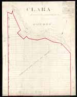
 - Map of Clara Township


 Early surveyors, like William E. Logan, used Rochon micrometer telescopes and targets (disk on a calibrated pole) to measure distance. Each microscope had a different calibration and therefore a different range. The instruments were calibrated against a distance measured with a surveyors chain (also known as Gunter’s chain). One chain …

 Early surveyors, like William E. Logan, used Rochon micrometer telescopes and targets (disk on a calibrated pole) to measure distance. Each microscope had a different calibration and therefore a different …Head, Clara and Maria Public Library
 - Sketch of Land Purchase from the Mississauga Indians 1805
 In 1787-88 the Toronto Purchase was made in absence of legal documents between Sir John Johnson and the Mississaugas, because of the former absence of legal documents the agreements was confirmed in 1805 with the Mississauga Indians at the River Credit reaffirming the old boundaries of 1787-88.
  In 1787-88 the Toronto Purchase was made in absence of legal documents between Sir John Johnson and the Mississaugas, because of the former absence of legal documents the agreements was …Oakville Public Library
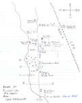
 - Village of Sulphide Mid 1930's From Inez Credicott
 This is a pen drawn map created from Inez Credicott's memory.
  This is a pen drawn map created from Inez Credicott's memory.Tweed Public Library
 - North Oakville Map as in 2010 Overlayed With Historic Lots and Concessions
 The identification on each lot is the Concession number in Roman numeral followed by lot number. E.g. "I-35" is Concession 1, Lot 35. "II-30" is Concession 2, Lot 30.
  The identification on each lot is the Concession number in Roman numeral followed by lot number. E.g. "I-35" is Concession 1, Lot 35. "II-30" is Concession 2, Lot 30.Trafalgar Township Historical Society
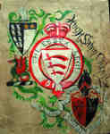
 - WWI Scrapbook - Hugh Salvin Calverley


 This scrapbook contains memorabilia from Hugh Calverley's (and his family's) experiences during World War I. As a young man, Hugh joined the Signal Corps, both his training and battlefield experiences being described. "The scrapbook is a handmade affair with odd pages, odd paper, bits of canvas sewn and glued together. …

 This scrapbook contains memorabilia from Hugh Calverley's (and his family's) experiences during World War I. As a young man, Hugh joined the Signal Corps, both his training and battlefield experiences …Joshua Creek Heritage Art Centre
 - Nelson Women's Institute Tweedsmuir History, Book II (of 3 Books, currently available on OurOntario.ca)


 Nelson Women's Institute, Tweedsmuir Community History Collections (Stoney Creek, ON) This is Volume 2 of 3 volumes that have been digitized and are available on OurOntario.ca. Volumes 4-7 are available on microfilm at Central Branch, Burlington Public Library. Most of the pages have been OCRd so are searchable. To view Volumes 2 & 3, use the link to the Tweedsmuir …

 Nelson Women's Institute, Tweedsmuir Community History Collections (Stoney Creek, ON) This is Volume 2 of 3 volumes that have been digitized and are available on OurOntario.ca. Volumes 4-7 are available on microfilm at Central Branch, Burlington Public Library. Most of …Burlington Public Library
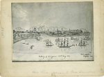
 - Taking of Niagara Drawing
 This appears to be a late 19th or early 20th century copy of an image that appeared in the Philadelphia Portfolio in 1817 showing the "Taking of Niagara" or the Battle of Fort George in 1813. The image provides some understanding of buildings that existed before the destruction of the …
  This appears to be a late 19th or early 20th century copy of an image that appeared in the Philadelphia Portfolio in 1817 showing the "Taking of Niagara" or the …
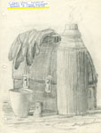
 - Sketch of Lunch Pail and Thermos, 1978.
 Signed by the artist. Part of a group of ten sketches which were donated to the Perry Township Public Library in 1978.
  Signed by the artist. Part of a group of ten sketches which were donated to the Perry Township Public Library in 1978.Perry Township Public Library
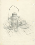
 - Pencil Sketch of a Lantern and Train Engineer's Cap, 1978
 Signed by the artist. Part of a group of ten sketches which were donated to the Perry Township Public Library in 1978.
  Signed by the artist. Part of a group of ten sketches which were donated to the Perry Township Public Library in 1978.Perry Township Public Library
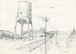
 - Pencil Sketch of Coal Chute Beside Railroad Tracks, 1978
 Signed by the artist. Part of a group of ten sketches which were donated to the Perry Township Public Library in 1978.
  Signed by the artist. Part of a group of ten sketches which were donated to the Perry Township Public Library in 1978.Perry Township Public Library
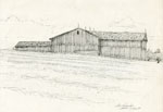
 - Pencil Sketch of a Large Wooden Barn, 1978
 Pencil sketch of a large wooden barn. In front of the barn is a grass field. Behind the barn is an orchard.
  Pencil sketch of a large wooden barn. In front of the barn is a grass field. Behind the barn is an orchard.Perry Township Public Library
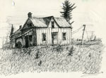
 - Pencil Sketch of an Abandoned House, 1978

 Signed by the artist. Part of a group of ten sketches which were donated to the Perry Township Public Library in 1978.
 Signed by the artist. Part of a group of ten sketches which were donated to the Perry Township Public Library in 1978.Perry Township Public Library
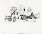
 - Pencil Sketch of a Snow-Covered Home, 1978

 Signed by the artist. Part of a group of ten sketches which were donated to the Perry Township Public Library in 1978.
 Signed by the artist. Part of a group of ten sketches which were donated to the Perry Township Public Library in 1978.Perry Township Public Library

