Résultats
Nous avons trouvé 11 éléments semblables.


Page 1 de 1
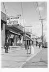
- Saasto's 1960


 Saasto's Mens Wear, Port Arthur, Ontario. Also shown, Anna's Milinery, Acadia Plumbing, Bay Meats. Photo depicts street scene looking east on Bay Street from the current corner of Bay and Algoma Streets.

 Saasto's Mens Wear, Port Arthur, Ontario. Also shown, Anna's Milinery, Acadia Plumbing, Bay Meats. Photo depicts street scene looking east on Bay Street from the current corner of Bay and …Thunder Bay Public Library
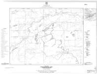
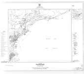
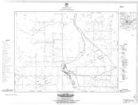
 - Hymers-Stanley Area : Gunflint Iron Range
 Map housed at the Brodie Resource Library
  Map housed at the Brodie Resource LibraryThunder Bay Public Library
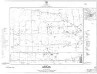
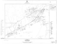
 - McIntyre Area : Gunflint Iron Range
 Map housed at the Brodie Resource Library
  Map housed at the Brodie Resource LibraryThunder Bay Public Library
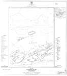
 - Neebing Area : Gunflint Iron Range
 Map housed at the Brodie Resource Library
  Map housed at the Brodie Resource LibraryThunder Bay Public Library
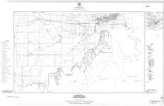
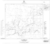
 - Port Arthur Area : Gunflint Iron Range
 Map housed at the Brodie Resource Library
  Map housed at the Brodie Resource LibraryThunder Bay Public Library
 - Loon Lake Area : Gunflint Iron Range
 Map housed at the Brodie Resource Library
  Map housed at the Brodie Resource LibraryThunder Bay Public Library
 - Whitefish Lake Area : Gunflint Iron Range
 Map housed at the Brodie Resource Library
  Map housed at the Brodie Resource LibraryThunder Bay Public Library
 - Silver Mountain Area : Gunflint Iron Range
 Map housed at the Brodie Resource Library
  Map housed at the Brodie Resource LibraryThunder Bay Public Library
 - Kakabeka Falls Area : Gunflint Iron Range
 Map housed at the Brodie Resource Library
  Map housed at the Brodie Resource LibraryThunder Bay Public Library
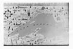
 - Map of Lake Superior Circle Route
 A map of the Lake Superior Circle Route to celebrate the official opening - September 16 & 17, 1960.
  A map of the Lake Superior Circle Route to celebrate the official opening - September 16 & 17, 1960.Thunder Bay Public Library
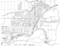
 - City of Fort William
 Map housed at the Brodie Resource Library
  Map housed at the Brodie Resource LibraryThunder Bay Public Library
Page 1 de 1

