Résultats
Nous avons trouvé 23 éléments semblables.


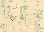
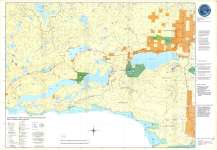
- Map of Forgotten Trails - Almaguin Highlands Area
 This map was produced by the South River Chamber of Commerce as a tourist aid and promoter.
  This map was produced by the South River Chamber of Commerce as a tourist aid and promoter.South River - Machar Union PL
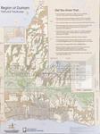
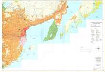
 - LHM066 Region of Durham Natural Features (map)
 Scale on map listed as 1" to 2.5 miles
  Scale on map listed as 1" to 2.5 milesOshawa Public Libraries
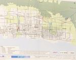
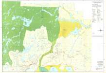
 - LHM071 407 East Environmental Assessment (map)
 This map shows the plan and environmental assessment for the 407 East including alternate roadways and plans.
  This map shows the plan and environmental assessment for the 407 East including alternate roadways and plans.Oshawa Public Libraries
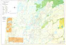
 - Brightsand
 CrimeStoppers - North of Superior Explorer Map Series Map housed at the Brodie Resource Library
  CrimeStoppers - North of Superior Explorer Map Series Map housed at the Brodie Resource LibraryThunder Bay Public Library
 - Lac Des Mille Lacs / Dog River
 CrimeStoppers - North of Superior Explorer Map Series Map housed at the Brodie Resource Library
  CrimeStoppers - North of Superior Explorer Map Series Map housed at the Brodie Resource LibraryThunder Bay Public Library
 - Black Sturgeon
 CrimeStoppers - North of Superior Explorer Map Series Map housed at the Brodie Resource Library
  CrimeStoppers - North of Superior Explorer Map Series Map housed at the Brodie Resource LibraryThunder Bay Public Library
 - Lake Nipigon
 CrimeStoppers - North of Superior Explorer Map Series Map housed at the Brodie Resource Library
  CrimeStoppers - North of Superior Explorer Map Series Map housed at the Brodie Resource LibraryThunder Bay Public Library
 - Wabakimi Park
 CrimeStoppers - North of Superior Explorer Map Series Map housed at the Brodie Resource Library
  CrimeStoppers - North of Superior Explorer Map Series Map housed at the Brodie Resource LibraryThunder Bay Public Library
 - Northern Lights Country East
 CrimeStoppers - North of Superior Explorer Map Series Map housed at the Brodie Resource Library
  CrimeStoppers - North of Superior Explorer Map Series Map housed at the Brodie Resource LibraryThunder Bay Public Library
 - Thunder Bay
 CrimeStoppers - North of Superior Explorer Map Series Map housed at the Brodie Resource Library
  CrimeStoppers - North of Superior Explorer Map Series Map housed at the Brodie Resource LibraryThunder Bay Public Library
 - Caribou Lake
 CrimeStoppers - North of Superior Explorer Map Series Map housed at the Brodie Resource Library
  CrimeStoppers - North of Superior Explorer Map Series Map housed at the Brodie Resource LibraryThunder Bay Public Library
 - Sleeping Giant : Interior Trails
 This is verso of the Sleeping Giant Provincial Park Map 208. Housed at the Brodie Resource Library
  This is verso of the Sleeping Giant Provincial Park Map 208. Housed at the Brodie Resource LibraryThunder Bay Public Library
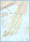
 - Sleeping Giant Provincial Park
 Map housed at the Brodie Resource Library
  Map housed at the Brodie Resource LibraryThunder Bay Public Library
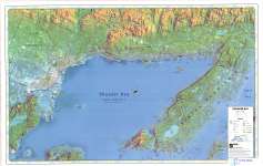
 - Thunder Bay (Lake Superior Gitchee Gumee)
 Map housed at the Brodie Resource Library
  Map housed at the Brodie Resource LibraryThunder Bay Public Library
 - Shuniah Area Rural Roads
 Map housed at the Brodie Resource Library
  Map housed at the Brodie Resource LibraryThunder Bay Public Library
 - Canada (upper half)
 See lower half of map on separate record. The Atlas of Canada Reference Map Series Map housed at the Brodie Resource Library
  See lower half of map on separate record. The Atlas of Canada Reference Map Series Map housed at the Brodie Resource LibraryThunder Bay Public Library
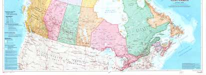
 - Canada (lower half)
 See upper half of map on separate record. The Atlas of Canada Reference Map Series Map housed at the Brodie Resource Library
  See upper half of map on separate record. The Atlas of Canada Reference Map Series Map housed at the Brodie Resource LibraryThunder Bay Public Library
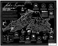
 - Lake Superior : Graveyard of the Great Lakes

 Map housed at the Brodie Resource Library
 Map housed at the Brodie Resource LibraryThunder Bay Public Library
 - Northern Lights Country West
 CrimeStoppers - North of Superior Explorer Map Series Map housed at the Brodie Resource Library
  CrimeStoppers - North of Superior Explorer Map Series Map housed at the Brodie Resource LibraryThunder Bay Public Library
 - Northern Light Lake / Shebandowan
 CrimeStoppers - North of Superior Explorer Map Series Map housed at the Brodie Resource Library
  CrimeStoppers - North of Superior Explorer Map Series Map housed at the Brodie Resource LibraryThunder Bay Public Library

