Résultats
Nous avons trouvé 2 éléments semblables.


Page 1 de 1
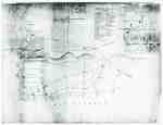
- "Plan of Part of the Niagara Frontier Showing the Communications from Thence to the 15 Mile Creek July 1814"
 This photograph of a plan is titled “Plan of Part of the Niagara Frontier Showing the Communications from Thence to the 15 Mile Creek July 1814”. It was obtained by the Museum from the “National Archives of Canada, Cartographic and Architectural Archives Division” with the call number NMC-21586. It shows …
  This photograph of a plan is titled “Plan of Part of the Niagara Frontier Showing the Communications from Thence to the 15 Mile Creek July 1814”. It was obtained by …
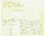
 - Diagram Explaining Where Sir Isaac Brock fell in Queenston
 This document is a diagram with explanations of the place where Sir Isaac Brock fell according to some who claim to have witness the event.
  This document is a diagram with explanations of the place where Sir Isaac Brock fell according to some who claim to have witness the event.
Page 1 de 1


