Résultats
Nous avons trouvé 3 éléments semblables.


Page 1 de 1
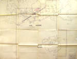
- The Corporation of the Improvement District of Terrace Bay
 This very old map (1947-48) from the Bush Fire Brigade shows the Improvement District of Terrace Bay. The Municipality of Schreiber is also on this map, along with the Slate Islands.
  This very old map (1947-48) from the Bush Fire Brigade shows the Improvement District of Terrace Bay. The Municipality of Schreiber is also on this map, along with the Slate …Terrace Bay Public Library
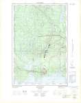
 - Schreiber : Thunder Bay District
 Map housed at the Brodie Resource Library
  Map housed at the Brodie Resource LibraryThunder Bay Public Library
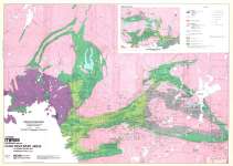
 - Hemlo Gold Belt (including Terrace Bay Area) Northwestern Ontario
 From Canadian Mines Handbook 1983-84 : Gold Discovery Areas in Ontario, Quebec and Washington State Map housed at the Brodie Resource Library
  From Canadian Mines Handbook 1983-84 : Gold Discovery Areas in Ontario, Quebec and Washington State Map housed at the Brodie Resource LibraryThunder Bay Public Library
Page 1 de 1


