Résultats
Nous avons trouvé 150 éléments semblables.


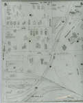
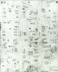
- Fire Insurance Map, 1908 - 1913, Map 5
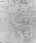
 1908 map updated to 1913. Duke Street later became Dupont Street. Bridgeport Road also called Laurel Street. See Detail images for closer view of map.
  1908 map updated to 1913. Duke Street later became Dupont Street. Bridgeport Road also called Laurel Street. See Detail images for closer view of map.Waterloo Public Library
 - Brant Park ca 1915, as recalled by Brant Coleman, pubished version
 ...
...  ...Burlington Historical Society
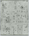
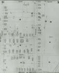
 - Fire Insurance Map, 1908 - 1913, Map 6
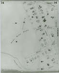
 1908 map updated to 1913. Weaver Street later became Dawson Street. See Detail images for closer view of map.
  1908 map updated to 1913. Weaver Street later became Dawson Street. See Detail images for closer view of map.Waterloo Public Library
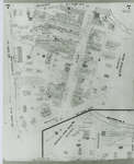
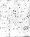
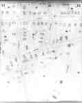
 - Fire Insurance Map 1908 - 1913, Map 7
 1908 map updated to 1913. Morley Street no longer exists.
  1908 map updated to 1913. Morley Street no longer exists.Waterloo Public Library
 - Fire Insurance Map 1908 - 1913, Map 8
 1908 map updated to 1913.
  1908 map updated to 1913.Waterloo Public Library
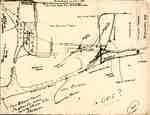
 - Brant Park ca 1915, as recalled by Brant Coleman, original draft
 ...
...  ...Burlington Historical Society
 - Fire Insurance Map 1908 - 1913, Map 9
 1908 map updated to 1913.
  1908 map updated to 1913.Waterloo Public Library
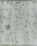
 - Fire Insurance Map 1908 - 1913, Map 10
 1908 map updated to 1913. Ontario Mutual Life Assurance Company was incorporated in 1868, name changed in 1900 to Mutual Life Assurance Company of Canada. They moved to 227 King Street south circa 1913. In 1988 became a part of the Mutual Group; company name changed to Clarica in 1999, …
  1908 map updated to 1913. Ontario Mutual Life Assurance Company was incorporated in 1868, name changed in 1900 to Mutual Life Assurance Company of Canada. They moved to 227 King …Waterloo Public Library
 - Fire Insurance Map 1908 - 1913, Map 11
 1908 map updated to 1913.
  1908 map updated to 1913.Waterloo Public Library
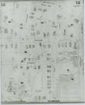
 - Fire Insurance Map 1908 - 1913, Map 12
 1908 map updated to 1913.
  1908 map updated to 1913.Waterloo Public Library
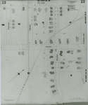
 - Fire Insurance Map 1908 - 1913, Map 13
 1908 map updated to 1913.
  1908 map updated to 1913.Waterloo Public Library
 - Fire Insurance Map 1942, Map 3
 1942 Map. Duke Street became Dupont Street. Queen Street became Regina Street. Cedar Street became Bridgeport Road and was also called Laurel Street east of Peppler Street.
  1942 Map. Duke Street became Dupont Street. Queen Street became Regina Street. Cedar Street became Bridgeport Road and was also called Laurel Street east of Peppler Street.Waterloo Public Library
 - Fire Insurance Map 1942, Map 4
 1942 Map. Duke Street became Dupont Street. Queen Street became Regina Street. Cedar Street became Bridgeport Road and was also called Laurel Street east of Peppler Street.
  1942 Map. Duke Street became Dupont Street. Queen Street became Regina Street. Cedar Street became Bridgeport Road and was also called Laurel Street east of Peppler Street.Waterloo Public Library
 - Fire Insurance Map 1908 - 1913, Map 14
 1908 map updated to 1913.
  1908 map updated to 1913.Waterloo Public Library
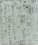
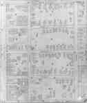
 - Fire Insurance Map 1908 - 1913 Legend
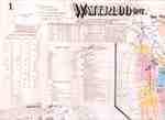
 1908 map updated to 1913. See detail photographs for enhanced view of the map.
  1908 map updated to 1913. See detail photographs for enhanced view of the map.Waterloo Public Library
 - Fire Insurance Map 1942, Map 2
 Fire Insurance map of southwest business district of Waterloo, Young Street to the north, Duke (later Dupont) Street to the south, Albert Street to the west and King Street to the east. Town Hall, Library, Fire Hall and Market building as well as many businesses identified on the map.
  Fire Insurance map of southwest business district of Waterloo, Young Street to the north, Duke (later Dupont) Street to the south, Albert Street to the west and King Street to …Waterloo Public Library
 - Fire Insurance Map, 1908 -1913, Map 2
 1908 map updated to 1913. Water Street later became Dorset Street. Cedar Street later became Bridgeport Road. See Detail images for closer view of map.
  1908 map updated to 1913. Water Street later became Dorset Street. Cedar Street later became Bridgeport Road. See Detail images for closer view of map.Waterloo Public Library
 - Fire Insurance Map, 1908 - 1913, Map 3
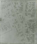
 1908 map updated to 1913. Cedar Street later became Bridgeport Road and was also called Laurel Street east of Peppler. See Detail images for closer view of map.
  1908 map updated to 1913. Cedar Street later became Bridgeport Road and was also called Laurel Street east of Peppler. See Detail images for closer view of map.Waterloo Public Library
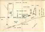
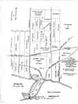
 - Map of Brant's Block, later Wellington Square, and neighbouring properties, after a Plan drawn in 1817
 The road running north(west) between Augustus Bates's property and James Gage's property is now Brant Street. The road running north(west) between George Chisholm's lot and the portion of Brant's Block belonging to his heir, John Brant, is now Allview Avenue and Francis Road. The circular point, at the shoreline of …
  The road running north(west) between Augustus Bates's property and James Gage's property is now Brant Street. The road running north(west) between George Chisholm's lot and the portion of Brant's Block …Burlington Historical Society
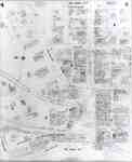
 - Fire Insurance Map, 1908 - 1913, Map 4
 1908 map updated to 1913. Duke Street later became Dupont Street. See Detail images for closer view of map.
  1908 map updated to 1913. Duke Street later became Dupont Street. See Detail images for closer view of map.Waterloo Public Library

