Résultats
Nous avons trouvé 9 éléments semblables.


Page 1 de 1
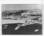
- Winter Aerial Photo of Former Mill and Box Factory Site, Thessalon, circa 1935

 This unmarked and undated photo was located in miscellaneous municipal files and permission was granted to scan this photo to add to our local collection.
 This unmarked and undated photo was located in miscellaneous municipal files and permission was granted to scan this photo to add to our local collection.Heritage Park Museum
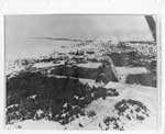
 - Aerial View of Thessalon, Looking West, circa 1935

 This unmarked and undated photo was located in miscellaneous municipal files and permission was granted to scan this photo to add to our local collection.
 This unmarked and undated photo was located in miscellaneous municipal files and permission was granted to scan this photo to add to our local collection.Heritage Park Museum
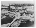
 - Close-up Aerial View of former Lumber Mill, Thessalon, circa 1935

 This unmarked and undated photo was located in miscellaneous municipal files and permission was granted to scan this photo to add to our local collection. Based on other photos of this area taken from a distance and from other photos of the "mill", it would appear that this is the …
 This unmarked and undated photo was located in miscellaneous municipal files and permission was granted to scan this photo to add to our local collection. Based on other photos of …Heritage Park Museum
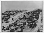
 - Aerial view of Thessalon River, circa 1935

 This unmarked and undated photo was located in miscellaneous municipal files and permission was granted to scan this photo to add to our local collection.
 This unmarked and undated photo was located in miscellaneous municipal files and permission was granted to scan this photo to add to our local collection.Heritage Park Museum
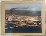
 - Blind River Mill in Colour, Circa 1940


 This mill was once the largest white pine mill east of the rockies. More information about the logging days of this area can be found in the book Logging Days in Blind River by Carl Kauffmann, available at the Timber Village Museum.

 This mill was once the largest white pine mill east of the rockies. More information about the logging days of this area can be found in the book Logging Days …Timber Village Museum
 - Aerial View of Seabrook Farm, circa 1950

 This is a black and white aerial photo of the Seabrook Farm, S.W.1/4 of Lot 15. Four buildings can be seen in the centre of the photo including a two-story house, a barn, and two other out buildings. Large trees fill the background, while fenced fields fill the foreground of …
 This is a black and white aerial photo of the Seabrook Farm, S.W.1/4 of Lot 15. Four buildings can be seen in the centre of the photo including a two-story …Thessalon Union Public Library
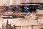
 - Aerial View of Main Street, Thessalon, circa 1920

 This is a sepia aerial photograph of the main street of Thessalon. The main street is on the left hand portion of the photograph. In the right hand side a number of businesses and private homes can be seen. At the top of the image, part of the North Channel …
 This is a sepia aerial photograph of the main street of Thessalon. The main street is on the left hand portion of the photograph. In the right hand side a …Thessalon Union Public Library
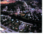
 - Aerial View, Thessalon, circa 1990

 This is a coloured aerial photo of part of Thessalon. The Thessalon River run across the middle of the photo with the red bridge crossing it on the left. On either side of the river houses can be seen. Main Street runs horizontally across the upper third of the photo …
 This is a coloured aerial photo of part of Thessalon. The Thessalon River run across the middle of the photo with the red bridge crossing it on the left. On …Thessalon Union Public Library
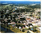
 - Aerial View of Thessalon and Area, circa 1960

 This is a coloured aerial photo of portions of the Town of Thessalon and rural area, in summer looking north-east towards Highway 17. The Thessalon River runs along the left third of the photo, with St. Francis Xavier Roman Catholic Church visible on its' western side. Some homes and businesses …
 This is a coloured aerial photo of portions of the Town of Thessalon and rural area, in summer looking north-east towards Highway 17. The Thessalon River runs along the left …Thessalon Union Public Library
Page 1 de 1

