Résultats
Nous avons trouvé 19 éléments semblables.


Page 1 de 1
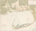
- Historical Maps of Toronto

 Featuring simple and free access to a broad selection of notable historical maps of Toronto, this site aims to generate curiosity, and to serve as an easy entry point for discovery and further investigation.
 Featuring simple and free access to a broad selection of notable historical maps of Toronto, this site aims to generate curiosity, and to serve as an easy entry point for …Nathan Ng
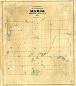
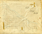
 - Maria Township ca. 1886


 Early surveyors, like William E. Logan, used Rochon micrometer telescopes and targets (disk on a calibrated pole) to measure distance. Each microscope had a different calibration and therefore a different range. The instruments were calibrated against a distance measured with a surveyors chain (also known as Gunter’s chain). One chain …

 Early surveyors, like William E. Logan, used Rochon micrometer telescopes and targets (disk on a calibrated pole) to measure distance. Each microscope had a different calibration and therefore a different …Head, Clara and Maria Public Library
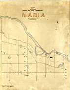
 - Maria Township ca. 1866


 Early surveyors, like William E. Logan, used Rochon micrometer telescopes and targets (disk on a calibrated pole) to measure distance. Each microscope had a different calibration and therefore a different range. The instruments were calibrated against a distance measured with a surveyors chain (also known as Gunter’s chain). One chain …

 Early surveyors, like William E. Logan, used Rochon micrometer telescopes and targets (disk on a calibrated pole) to measure distance. Each microscope had a different calibration and therefore a different …Head, Clara and Maria Public Library
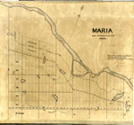
 - Maria Township ca.1869


 Early surveyors, like William E. Logan, used Rochon micrometer telescopes and targets (disk on a calibrated pole) to measure distance. Each microscope had a different calibration and therefore a different range. The instruments were calibrated against a distance measured with a surveyors chain (also known as Gunter’s chain). One chain …

 Early surveyors, like William E. Logan, used Rochon micrometer telescopes and targets (disk on a calibrated pole) to measure distance. Each microscope had a different calibration and therefore a different …Head, Clara and Maria Public Library
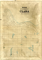
 - Clara Township Map ca.1885


 Early surveyors, like William E. Logan, used Rochon micrometer telescopes and targets (disk on a calibrated pole) to measure distance. Each microscope had a different calibration and therefore a different range. The instruments were calibrated against a distance measured with a surveyors chain (also known as Gunter’s chain). One chain …

 Early surveyors, like William E. Logan, used Rochon micrometer telescopes and targets (disk on a calibrated pole) to measure distance. Each microscope had a different calibration and therefore a different …Head, Clara and Maria Public Library
 - Head Township ca.1859


 Early surveyors, like William E. Logan, used Rochon micrometer telescopes and targets (disk on a calibrated pole) to measure distance. Each microscope had a different calibration and therefore a different range. The instruments were calibrated against a distance measured with a surveyors chain (also known as Gunter’s chain). One chain …

 Early surveyors, like William E. Logan, used Rochon micrometer telescopes and targets (disk on a calibrated pole) to measure distance. Each microscope had a different calibration and therefore a different …Head, Clara and Maria Public Library
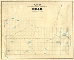
 - Map of Head Township


 Early surveyors, like William E. Logan, used Rochon micrometer telescopes and targets (disk on a calibrated pole) to measure distance. Each microscope had a different calibration and therefore a different range. The instruments were calibrated against a distance measured with a surveyors chain (also known as Gunter’s chain). One chain …

 Early surveyors, like William E. Logan, used Rochon micrometer telescopes and targets (disk on a calibrated pole) to measure distance. Each microscope had a different calibration and therefore a different …Head, Clara and Maria Public Library
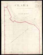
 - Map of Clara Township


 Early surveyors, like William E. Logan, used Rochon micrometer telescopes and targets (disk on a calibrated pole) to measure distance. Each microscope had a different calibration and therefore a different range. The instruments were calibrated against a distance measured with a surveyors chain (also known as Gunter’s chain). One chain …

 Early surveyors, like William E. Logan, used Rochon micrometer telescopes and targets (disk on a calibrated pole) to measure distance. Each microscope had a different calibration and therefore a different …Head, Clara and Maria Public Library
 - Cramahe Township map detail, Smith's Canadian gazetteer: comprising statistical and general information respecting all parts of the Upper Province, or Canada West, 1846

 (There appears to be little difference in content between the 1846 edition and 1849 edition of this publication - except the available online 1849 copy did not have a map). Cramahe Archives does not hold the original item in its archives, but has a digital image.
 (There appears to be little difference in content between the 1846 edition and 1849 edition of this publication - except the available online 1849 copy did not have a map). …Cramahe Township Public Library
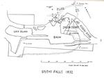
 - 1832 Smiths Falls plan, A history of the Smiths Falls Lock Stations, 1827-1978 by Peter DeLottinville, Vol. II

 To do a keyword search for this publication, see the two Smiths Falls Digital Archive links for Vol. 1 & 2 on the left side of the catalogue record. To download this publication, see the link – Government of Canada, Publications.
 To do a keyword search for this publication, see the two Smiths Falls Digital Archive links for Vol. 1 & 2 on the left side of the catalogue record. To …Smiths Falls Public Library
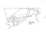
 - 1835 Old Slys plan, A history of the Smiths Falls Lock Stations, 1827-1978 by Peter DeLottinville, Vol. II

 To do a keyword search for this publication, see the two Smiths Falls Digital Archive links for Vol. 1 & 2 on the left side of the catalogue record. To download this publication, see the link – Government of Canada, Publications.
 To do a keyword search for this publication, see the two Smiths Falls Digital Archive links for Vol. 1 & 2 on the left side of the catalogue record. To …Smiths Falls Public Library
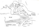
 - 1846 Combined Locks plan, A history of the Smiths Falls Lock Stations, 1827-1978 by Peter DeLottinville, Vol. II

 To do a keyword search for this publication, see the two Smiths Falls Digital Archive links for Vol. 1 & 2 on the left side of the catalogue record. To download this publication, see the link – Government of Canada, Publications.
 To do a keyword search for this publication, see the two Smiths Falls Digital Archive links for Vol. 1 & 2 on the left side of the catalogue record. To …Smiths Falls Public Library
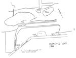
 - 1846 Detached Lock plan, A history of the Smiths Falls Lock Stations, 1827-1978 by Peter DeLottinville, Vol. II

 To do a keyword search for this publication, see the two Smiths Falls Digital Archive links for Vol. 1 & 2 on the left side of the catalogue record. To download this publication, see the link – Government of Canada, Publications.
 To do a keyword search for this publication, see the two Smiths Falls Digital Archive links for Vol. 1 & 2 on the left side of the catalogue record. To …Smiths Falls Public Library
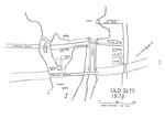
 - 1873 Old Slys plan, A history of the Smiths Falls Lock Stations, 1827-1978 by Peter DeLottinville, Vol. II

 To do a keyword search for this publication, see the two Smiths Falls Digital Archive links for Vol. 1 & 2 on the left side of the catalogue record. To download this publication, see the link – Government of Canada, Publications.
 To do a keyword search for this publication, see the two Smiths Falls Digital Archive links for Vol. 1 & 2 on the left side of the catalogue record. To …Smiths Falls Public Library
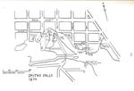
 - 1874 Smiths Falls plan, A history of the Smiths Falls Lock Stations, 1827-1978 by Peter DeLottinville, Vol. II

 To do a keyword search for this publication, see the two Smiths Falls Digital Archive links for Vol. 1 & 2 on the left side of the catalogue record. To download this publication, see the link – Government of Canada, Publications.
 To do a keyword search for this publication, see the two Smiths Falls Digital Archive links for Vol. 1 & 2 on the left side of the catalogue record. To …Smiths Falls Public Library
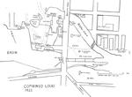
 - 1922 Combined Locks plan, A history of the Smiths Falls Lock Stations, 1827-1978 by Peter DeLottinville, Vol. II

 To do a keyword search for this publication, see the two Smiths Falls Digital Archive links for Vol. 1 & 2 on the left side of the catalogue record. To download this publication, see the link – Government of Canada, Publications.
 To do a keyword search for this publication, see the two Smiths Falls Digital Archive links for Vol. 1 & 2 on the left side of the catalogue record. To …Smiths Falls Public Library
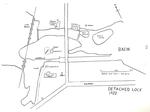
 - 1922 Detached Lock plan, A history of the Smiths Falls Lock Stations, 1827-1978 by Peter DeLottinville, Vol. II

 To do a keyword search for this publication, see the two Smiths Falls Digital Archive links for Vol. 1 & 2 on the left side of the catalogue record. To download this publication, see the link – Government of Canada, Publications.
 To do a keyword search for this publication, see the two Smiths Falls Digital Archive links for Vol. 1 & 2 on the left side of the catalogue record. To …Smiths Falls Public Library
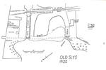
 - 1925 Old Slys Locks plan, A history of the Smiths Falls Lock Stations, 1827-1978 by Peter DeLottinville, Vol. II

 To do a keyword search for this publication, see the two Smiths Falls Digital Archive links for Vol. 1 & 2 on the left side of the catalogue record. To download this publication, see the link – Government of Canada, Publications.
 To do a keyword search for this publication, see the two Smiths Falls Digital Archive links for Vol. 1 & 2 on the left side of the catalogue record. To …Smiths Falls Public Library
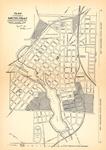
 - Map, 1930, Directory of the Town of Smiths Falls


 Map printed in the 1935 Directory of the Town of Smiths Falls. Notation in upper left hand corner: Plan of the town of Smiths Falls in the County of Lanark, Ont. shewing Industrial sites, May 29th 1930, S.B. Code OLS 104 pages: illustrations, portraits, map; 20 cm. Includes names and …

 Map printed in the 1935 Directory of the Town of Smiths Falls. Notation in upper left hand corner: Plan of the town of Smiths Falls in the County of Lanark, …Smiths Falls Public Library
Page 1 de 1

